Garmin eTrex 10 Review
Our Verdict
Our Analysis and Test Results
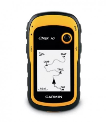
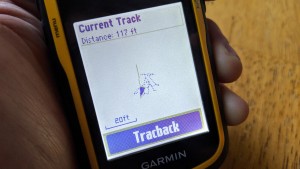
The eTrex 10 is about as simple as it gets, and even Garmin considers it to be a “non-mapping GPS unit.” While its preloaded basemap may appear blank — with the exception of major cities and borders — it does have the ability to mark waypoints and save tracks, which then allows you to plan and save routes later through Garmin BaseCamp. It is the most basic GPS unit in the eTrex lineup: the simple design features a monochromatic screen, only 6MB of internal memory, and does not include a microSD slot for any additional memory.
Performance Comparison
Reception
All of Garmin's units we tested employ WAAS/EGNOS-enabled receivers to help increase the accuracy of their signal by up to five-times. The acronyms stand for Wide Area Augmentation System (to support US-based GPS) and European Geostationary Navigation Overlay Service (to supplement GPS units when they cross over into pan-Euro territory.) At their most basic, both systems are a series of, “satellites and ground stations that provide GPS signal correction.” This means that even a baseline unit, like the eTrex 10, boasts solid GPS reception — even if it seems like it pales in comparison to the competition.
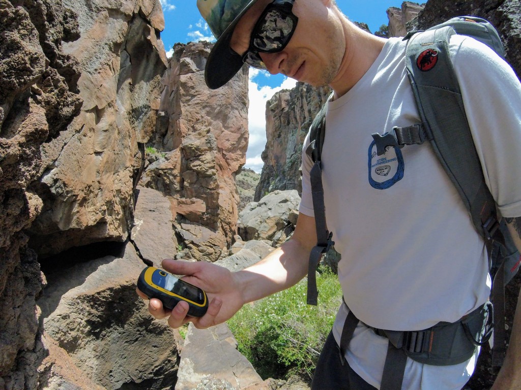
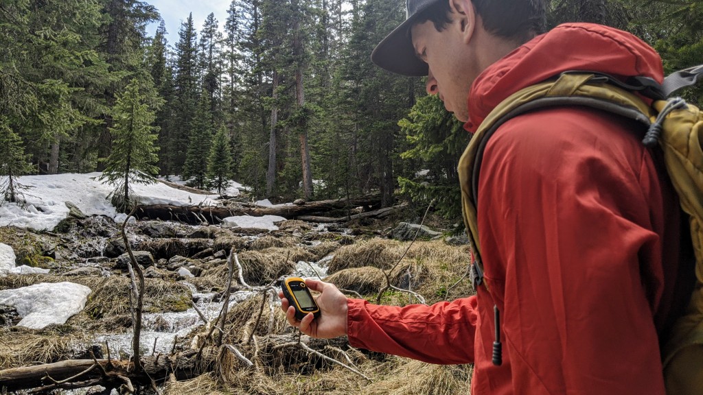
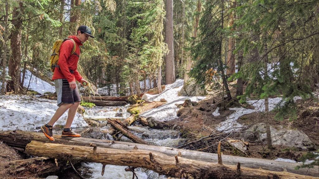
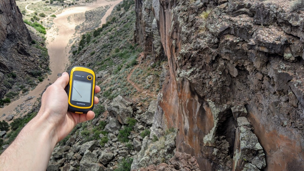
In wide-open spaces with an unobstructed view of the sky, this handheld was able to track us with an accuracy down to +/- 7 feet — seriously impressive for a “basic” GPS unit. Even in areas that severely limit the extent of sky — and thus limiting the line-of-sight required for satellite reception — the eTrex 10 was able to operate on 4/5 bars, in both narrow slot canyons and under dense tree cover.
Ease of Use
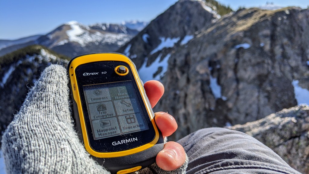
This is a simple GPS unit, and as a result is very easy to use. Straight out of the box, you will be able to quickly flip through the single-screen menu of the eTrex 10, and figure out its major capabilities — the unit even comes with four, pre-set profiles to help you better manage options and settings.
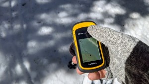
While it does include somewhat superfluous features like a calculator and stopwatch, it's not really possible to do a whole lot of extra with this GPS. Using the eTrex 10 is almost inherently intuitive, thanks to a clean, five-button layout combined with a single toggle for moving about the screen — and very easy to use in cold weather while wearing gloves.
When it comes to using it as a navigational tool, the gigantic fault of the eTrex 10 is the lack of mapping capability. While it is technically possible to layout a plan on the unit through the Route Planner function, without a secondary topographic map you would be blindly placing waypoints on a blank basemap. If you pre-plan with Garmin BaseCamp, it is easy enough to upload and then follow a preset track to your destination. But even then, it would be nice if you were able to zoom into the map to track your progress at something better than the minimum resolution of 20 feet.
Display Quality
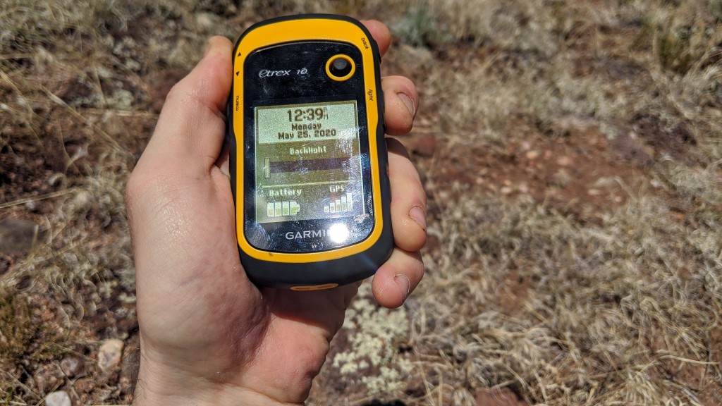
The eTrex 10 is a stand-out in our review as the only GPS unit with a monochromatic (black and white) screen. The screen measures only 2.2 square inches, and offers a display resolution of a meager 128 x 160 pixels. While you might think that all of this would add up to a not-so-friendly user experience in terms of display quality, instead, we found that the screen was surprisingly easy to read.
Although the screen size is limited in comparison to many other models on the market, we expected to have a small screen attached to this particularly small, handheld GPS. Regardless of size, what impressed us most about the display quality was how easy it was to read the monochromatic screen in bright sunlight, especially when compared directly to other units in the eTrex lineup.
Speed
The eTrex series boasts the claim of the “first consumer grade GPS” to use both GPS and GLONASS satellite systems simultaneously. With both systems enabled, Garmin claims that, “the time it takes for the receiver to 'lock on' to a position is (on average) approximately 20 percent faster than using GPS [alone].” Through field testing, we found that the eTrex 10 absolutely lives up to this claim. This unit astounded us by taking less than one minute to go from powering on, to locating us within its finest resolution.
The differential compass requires movement to track your relative position, and it updates at a rate that we estimated to be about every 0.5 seconds. This amount of time was enough to notice a slight lag, but easily fast enough to keep up as we navigated our way through the forest on skis. The only time the eTrex 10 is truly slow is when entering waypoint information on its T9-style keyboard — unless, of course, you are a non-smartphone user with enlightened T9 skills.
Weight and Size
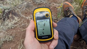
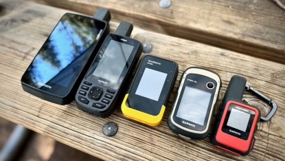
The eTrex 10 is the definition of a handheld GPS unit. Its size and shape perfectly fit in your palm, which makes it incredibly easy to operate with one hand. For the sake of a readable screen and similarly sized battery storage compartments, almost every GPS in our review has nearly the same dimensions when considering width and thickness. The eTrex series — including the 10 — show off their miniature size when it comes to length: these units measure nearly two inches shorter than most others. Tipping the scales at 1/4-pound, the eTrex 10 is easily one of the lightest in our review as well. This comparatively tiny unit is as easily tossed into a pocket for a day-hike as it is stashed into the top of your trekking pack. We found it was even ergonomic and lightweight enough to simply hold in our hands while out on adventurous trail runs.
Versatility
This is where this GPS unit really loses points. Garmin states that the eTrex 10 is pre-loaded with a worldwide basemap — similar to their other basic models. But on the screen of the unit, that map is completely blank, with the exception of major cities and borders.
You have the ability to pre-plan routes, set waypoints, and review tracks post-trip on a computer through their proprietary GIS software, Garmin BaseCamp. But out in the field, plan to navigate somewhat “blindly” by following a track to each waypoint, or via the differential compass. We're sure that this next statement will come across with supreme irony: it may help to supplement this GPS unit with a topographic map. This eTrex 10 might work well for the geocache crowd, but we wouldn't want to take it along on an expedition.
Value
This unit is by far the least expensive in our review, but that comes with some pretty major sacrifices. For its simplicity, speed, and size, the eTrex 10 is hard to beat. But one must consider that the lack of mapping, in many cases, severely limits its capability as a GPS. With the ability to save and track waypoints — such as where you parked your car — we like to think of the eTrex 10 as more of a safeguard from getting lost, rather than a stand-alone navigation unit.
Conclusion
The Garmin eTrex 10 has all of the capability you need to get you where you want to go — just as long as that destination is pre-planned. The eTrex 10 is pocket-sized GPS unit with impressive reception quality and accuracy. A perfect, price-point unit for the casual geocacher, but not likely very useful for expeditionary travel.


